1 Year Warranty
Description
Overview
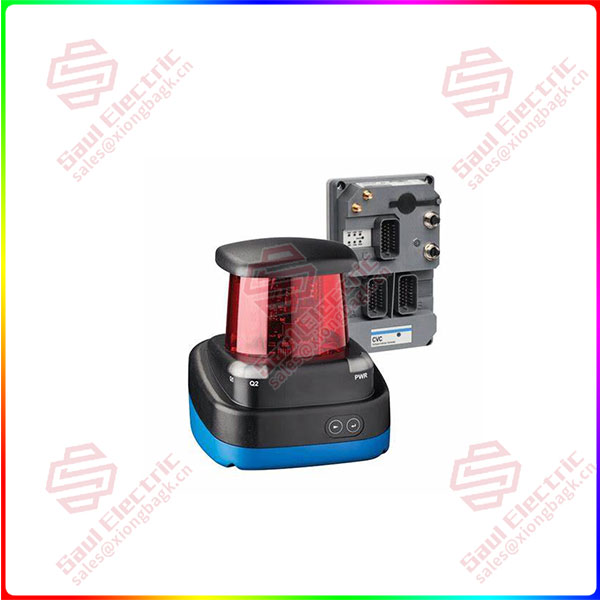
Essential details:LS2000 navigation sensor
With the AGV automatic guided vehicle map is moving Gradually expanding, the emergence of new models requires the same platform Support more navigation methods, such as laser reverse Light plate navigation and natural navigation technology. multi-function
The product that can be integrated will help you faster Quickly recoup the cost of investment because it gives customers Home to more updated improved material handling and silos Storage efficiency solutions.
LS2000 navigation sensor and CVC700
The vehicle controller is the eye that guides the car automatically Eyes and brains, they ensure that the vehicle is fast and Accurate operation.
LS2000 navigation sensor with CVC700 vehicle controller for you There are many possibilities, both through reflectors and using natural objects The body can even navigate through a mixture of the two when needed.
LS2000 navigation sensor with CVC700 vehicle
The controller provides precision for your autonomous guided vehicle Accurate data. These are vehicles that are fast and accurate The basis of the move.
LS2000 navigation sensor
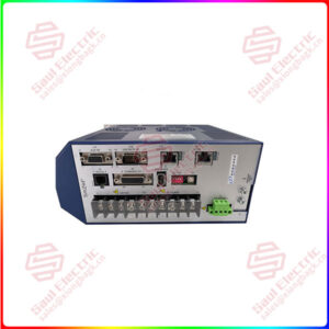
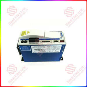
CVC700 Vehicle controller
No extra parts on LS2000, rugged Designed to meet IP65 standards. Between all the parts
The compact design makes assembly very convenient. Temperature range: -30 °C to + 55°C
ls2000
lf you need to inquire or purchase ,please send the product models to my email or call medirectly .
sunny He
[Email] sales@saulcontrol.com
[Mobile] 86-18059884797
[WhatsApp] 86-18059884797
[Skype] sales@saulcontrol.com
LS2000 navigation sensor
Laser natural contour navigation is based on SLAM navigation principle. SLAM is synchronous positioning and mapping, which means that in an unknown environment, the robot locates itself through internal sensors (encoders, IMU, etc.) and external sensors (laser sensors or vision sensors), and uses the environmental information obtained by external sensors to build an incremental environmental map on the basis of positioning. In the process of map construction, the contours of objects in the surrounding natural environment (such as walls, columns or other fixed objects) are detected and learned by laser sensors, including distance, Angle, reflectivity and other information of the measured object, and then the positioning and navigation of the mobile robot is realized by SLAM algorithm. Because the laser is not limited by light and has strong anti-interference, the data obtained by laser detection has the characteristics of high precision, strong real-time and stable data, and the lidar is convenient to install, which is very suitable for mobile robot navigation. Compared with the traditional magnetic strip navigation, two-dimensional code navigation and laser reflector navigation, the laser natural contour navigation has high flexibility, strong stability and low external interference factors. On the other hand, there is no need to lay magnetic stripe, two-dimensional code, reflective column and other auxiliary positioning facilities, there is no need to transform the user’s on-site workshop environment, the early implementation is fast, and the later maintenance cost is low, which has obvious advantages.